Field Technology Services

Minidome Solar Camera Trailers

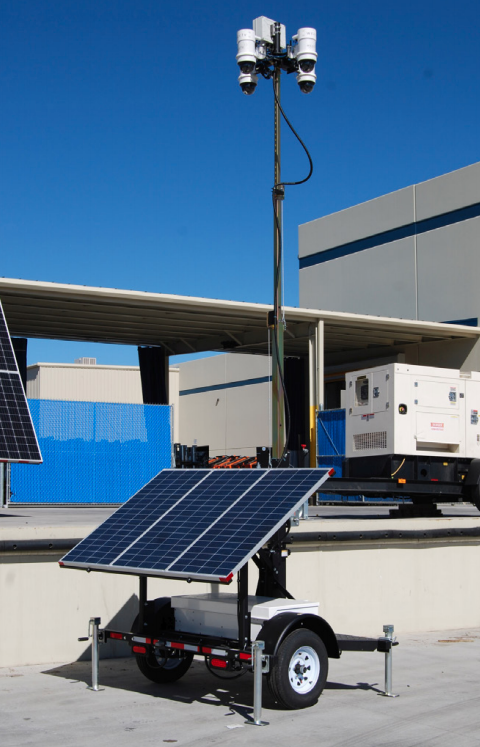
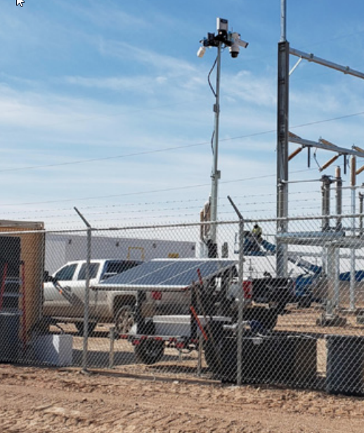
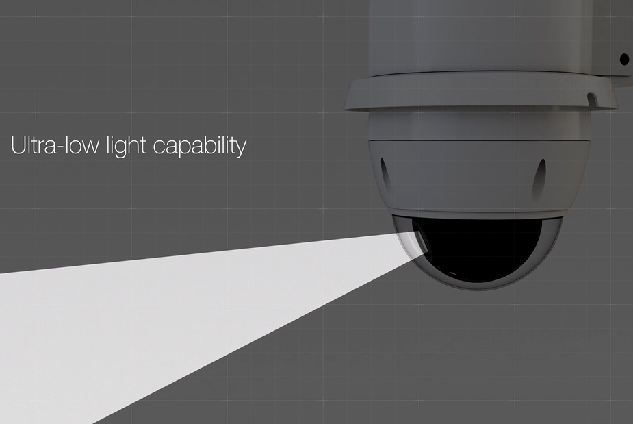
If you need 24/7/365 surveillance in hard to reach areas enjoy the peace of mind of our mobile camera trailers. These rapid deployment mobile video surveillance systems are autonomously-powered can be installed at practically any location. Live and recorded footage can be accessed via 4G LTE, 3G and Wi-Fi.

Drone / UAV Services

Our Drone/UAV Services offer photography or video. Take advantage of our easy process and schedule a flight with one of our experienced, FAA Certified professionals. Our service offers a quick turn around and many different delivery options.

Visible Spectrum (RGB)

This is the most common type of imagery captured. RGB images are generally used in surveying, mapping and GIS missions where a high-definition surface model or 3D point cloud are required.

Near Infrared (NIR)

NIR imagery is most frequently used in precision agriculture in order to calculate plant vegetation health.

Thermal

Detects heat, can be used in many sectors from construction, mining, electrical, surveillance, firefighting, and search and rescue.

Image Processing

  • Drone imagery processing and packaging into specialize GIS Engine software (DAS)
  • Raw imagery delivery
  • Imagery hosting on DAS; secured by a login and sub-accounts available for your customers